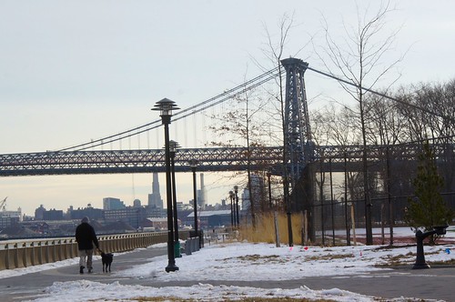
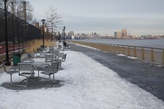
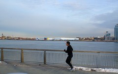
 Suzanne Rozdeba The East River Park is the focal point of an unrealized plan for a unbroken protected greenway on Manhattan’s east side. Below: The park, renamed for former Mayor John V. Lindsay in 2001, is also a hub for runners and cyclists.
Before the construction of the East River (later FDR) Drive and the public housing along the east side of the street, Avenue D’s relationship with the East River was much more direct than we see now. When the area was still dominated by an active industrial waterfront, almost every east-west street in the neighborhood flowed directly into the river. Today, only a couple of those streets give access to the waterfront and the FDR must be traversed first.
Indeed, a quick look at some historical photographs and maps shows that the water was physically much closer to Avenue D than it is today. For instance, if you stood on the corner of 13th Street on Avenue D in the 1930’s, you could look directly at the water lapping up against the dock, while today that view is dominated by a power plant. Meanwhile, a walk from the corner of East Sixth street and Avenue D would deliver you to the water’s edge after approximately 900 feet, and the equivalent walk today is about 350 feet longer.
The difference, of course, is due both to FDR Drive and the East River Park (renamed John V. Lindsay Park in 2001). What the neighborhood lost in direct access to the water, it gained in additional open space. In fact, it gained Manhattan’s biggest open space south of 59th Street. The park, which is almost 60 acres in size and stretches from East 12th Street to Montgomery Street, owes its origins to the FDR Drive and Robert Moses, the man behind almost every piece of serious infrastructure conceived and/or constructed between the Great Depression and the city’s financial crisis of the 1970’s.
Often cited as the Hudson River Park’s neglected and disjointed ugly sister; the park, partially built on reclaimed land, was opened in 1939 along with the freeway. Today it has about 1.5 miles of bikeway, eight baseball diamonds, fields for soccer and football, barbeque areas, a running track, tennis courts, a 2,500-seat amphitheater and, of course, sensational views of the Williamsburg Bridge. In short, it’s the local mecca for sports and leisure seekers, and its size and location contribute to the fact that over 99 percent of residential units in the Lower East Side/Chinatown Community District (where the East Village is situated) are within a quarter-mile of a park, a key sustainability goal of city policymakers.
The park is also the central spine of the often mooted but, as yet, unrealized plan for a unbroken protected greenway on Manhattan’s east side. The city’s general refurbishment plans for eastside parks have been progressing, but not without delays and controvery and the park’s facilities seem to include multiple building sites. Despite these setbacks, the city will soon have a world-class esplanade stretching more or less unbroken from the Battery to 34th Street.
 Suzanne Rozdeba The park, which opened in 1939, has about 1.5 miles of bikeway, eight baseball diamonds, fields for soccer and football, barbeque areas, a running track, tennis courts, and a 2,500-seat amphitheater.
In addition, the condition of the park’s pavement closest to the FDR Drive has long been a source of constant complaint from walkers, runners and cyclists who look enviously at the underfoot conditions across town. The recent snowstorms certainly didn’t help matters, forcing many local bikers and runners (including this author) to contend with the lack of navigable paths and numerous water-filled potholes. Anyone who has pounded their feet into one those murky puddles on a dark January night will know exactly what I am referring to.
Despite these ongoing challenges, the East River Park remains a core part of the city’s urban green infrastructure and central to the East Village experience. As the city continues to rediscover its waterfront, the park will likely continue to be the anchor for the average east villager’s interaction with their waterfront.


